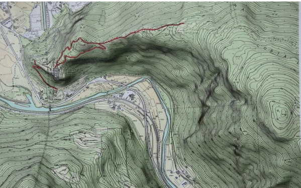
A topographical survey is a detailed mapping of the natural and man-made features of an area, including its elevations. The purpose of a topographical survey is to collect data about the land’s surface and any existing features on it. This information is crucial for various civil engineering projects, providing engineers with the locations of elevation changes, geographical features, and artificial structures like utilities and buildings. Modern topographical surveys often utilize advanced technologies to collect data efficiently and accurately. These technologies include: Total Stations, Drones GPS (Global Positioning System) and DGPS (Differential Global Positioning System), LiDAR Calculate earthwork quantities, such as cut and fill volumes, needed to achieve the final grade. Identify potential site challenges and environmental considerations early in the project. Create accurate maps and 3D models that can be integrated into CAD software for design and analysis. Overall, a topographical survey provides a fundamental understanding of the project site, enabling informed decision-making and contributing to the safety, efficiency, and success of civil engineering endeavours.

We individually started our journey in the year 2017 with a small team of engineering experts. Now starting our own firm.