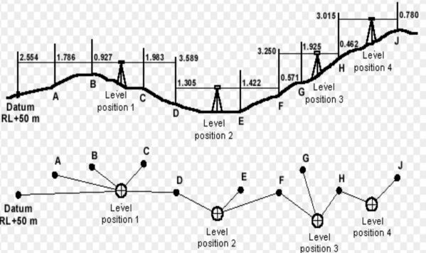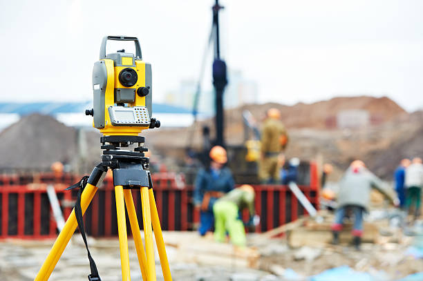
Leveling survey is a surveying technique used to determine the vertical distance (height) between different points on the earth’s surface. It involves using instruments like level instruments and Leveling staffs to find differences in elevation, which are crucial for construction, mapping, and other applications. Zeroing the perfect elevation! The extent of land verticals differs in size and shape with ups and downs. Clearing the construction site with ground leveling is a bit major task considering the geographical and terrain regions substantiating the prescribed constructions. Precise Surveyors and Engineers help to successfully complete the projects on the terrain regions like water flow, road works on bitumen laying, construction works from foundations to installation of major plants and machinery. The expertise team with the use of digital leveling, optical leveling, the latest technology, and satellite equipment yields the perfect leveling of project works with respect to benchmark positions. Time-bound accurate leveling!

We individually started our journey in the year 2017 with a small team of engineering experts. Now starting our own firm.